
Transport for NSW
Using GIS to guide smarter road upgrade decisions

Client | Transport for NSW
Service | Approvals strategy, environmental impact assessment
Duration | 2025
Sectors | transport
‘Alice and Stu were very responsive and provided all the relevant documentation within the time constraints.’
-Usha Jacome, Senior Traffic and Transport Engineer, CCHD (March 2026)
Project Overview
Bells Line of Road is a key connection between North Richmond and Bell. In November 2024, the Australian Government committed $100 million to improve safety, resilience and freight access along the corridor. The program included curve widening, intersection upgrades, new heavy vehicle rest areas and signage improvements across 58 kilometres of road.
Our approach
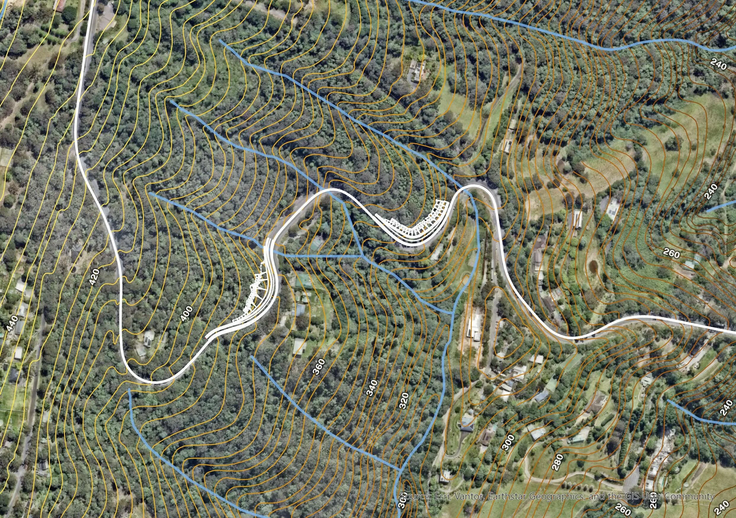
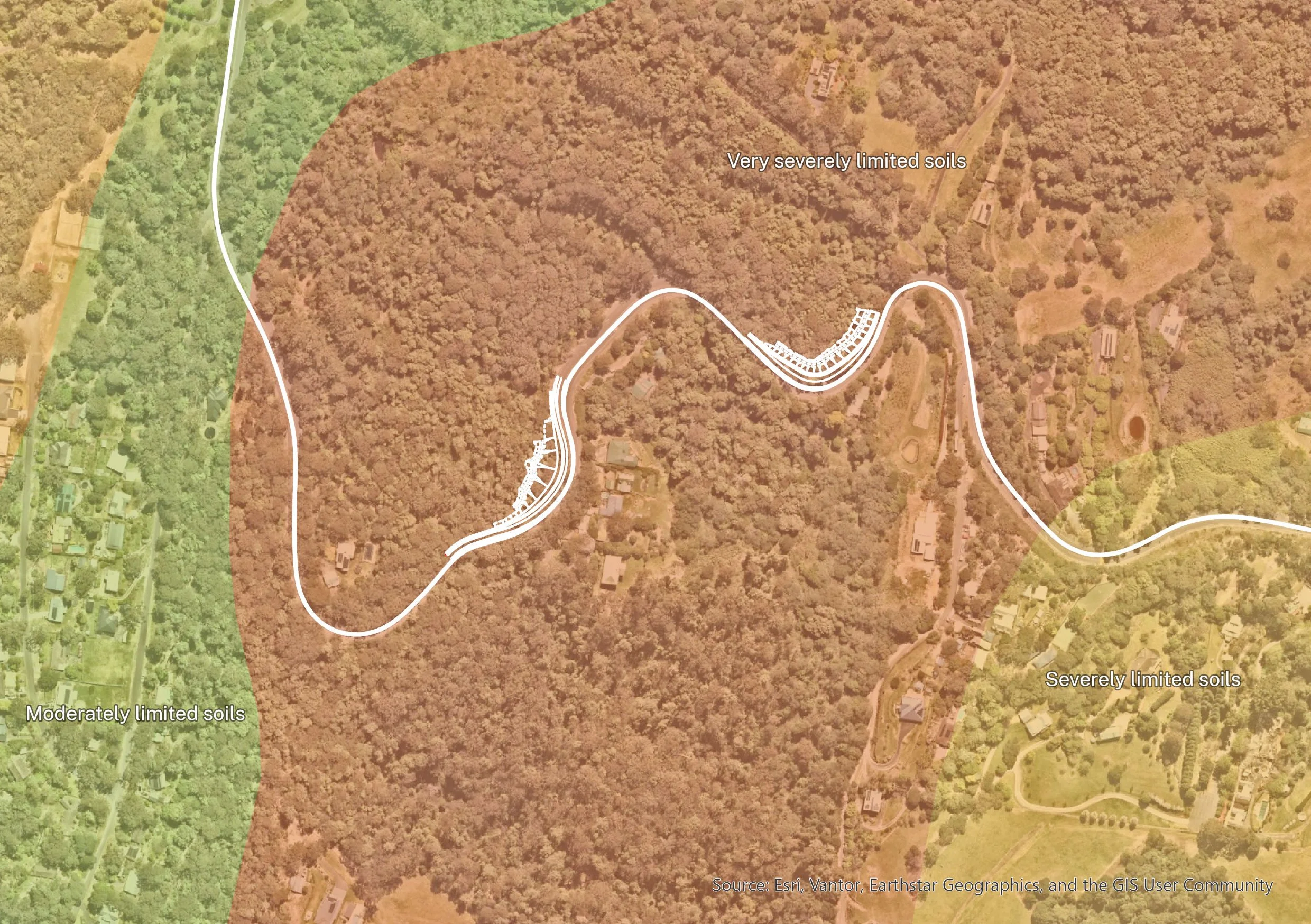
We worked with Transport for NSW and its design adviser, Civil Consulting and Highway Design, through the Preliminary Environmental, Sustainability and Planning Investigation (PESPI) process. Our key contribution was turning complex environmental constraints into an interactive Geographic Information System (GIS) map portal that the project team could use in real time. Instead of relying only on static reports, Transport and the design team could explore constraints across the 58-kilometre corridor, zoom into specific locations and test how each upgrade option interacted with environmental and social values. This made the options evaluation workshop more practical, visual and evidence led.
What we delivered
We worked with Transport for NSW and its design adviser, Civil Consulting and Highway Design, through the preliminary environmental, sustainability and planning investigation process. Our key contribution was turning complex environmental constraints into an interactive Geographic Information System (GIS) map portal that the project team could use in real time.
Instead of relying only on static reports, Transport and the design team could explore constraints across the 58-kilometre corridor, zoom into specific locations and test how each upgrade option interacted with environmental and social values. This made the options evaluation workshop more practical, visual and evidence led.
Impact
Our interactive GIS portal helped Transport for NSW and the design team make better, faster decisions across a long and complex road corridor. By bringing environmental and social constraints into one visual, easy-to-use tool, we made it easier to compare options, understand trade-offs and identify risks early. This gave the project team a stronger evidence base for the options evaluation workshop and helped keep a high-profile road safety and resilience program moving within its timeframe.